High-Precision LiDAR & Thermal Intelligence
.
Actionable geospatial data for North Georgia’s construction, grading, and energy sectors. We see through the canopy and inside the roof
About Us
The Mission: Most drone services provide "pretty pictures." Atlanta Aerial Data provides engineering-grade intelligence. Founded on the principle of technical accuracy, we bridge the gap between raw aerial capture and actionable data. We specialize in stripping away heavy North Georgia canopy to reveal true topography and identifying subsurface moisture before it becomes a six-figure liability.
Our Technical Edge:
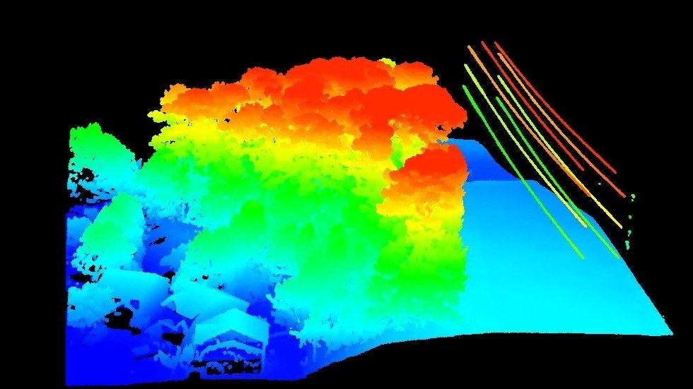
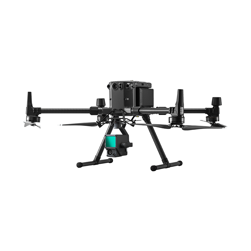
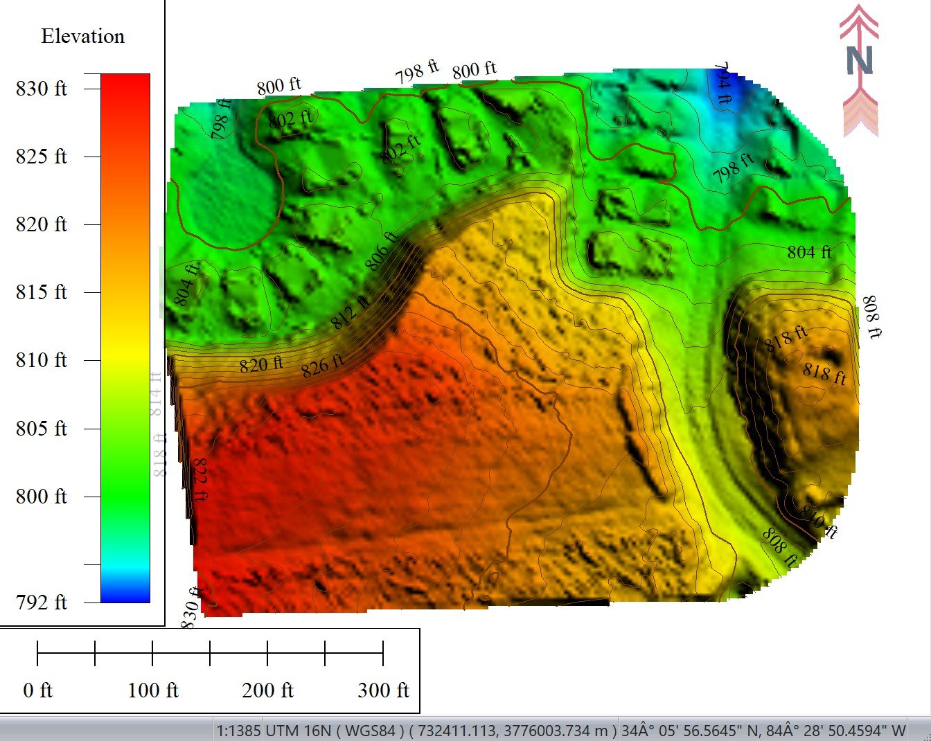
Active LiDAR Sensing: We don't just see the treetops. Our DJI L1 sensors penetrate dense vegetation to reveal the true bare-earth topography of your site.
Radiometric Thermal Audits: We identify subsurface moisture intrusion and energy loss that traditional inspections miss, helping protect your TPO/EPDM warranties.
High-Fidelity Volumetrics: We track site progress down to the cubic yard, providing "Logistics Equivalence" reports that help grading contractors manage export costs in real-time.
QA/QC Standards: Every mission includes a DJI Terra Quality Report, ensuring centimeter-level accuracy for every LAS, DXF, and GeoTIFF deliverable.
Local Expertise: Based in Woodstock, GA, we understand the specific challenges of the North Georgia corridor. We aren't just pilots; we are your data partners, helping civil engineers, property managers, and site supervisors from Canton to Atlanta make decisions based on facts, not estimates.
Contact Us
Interested in working together? Fill out some info and we will be in touch shortly. We can’t wait to hear from you!